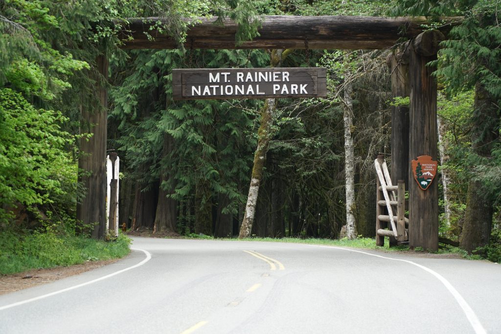
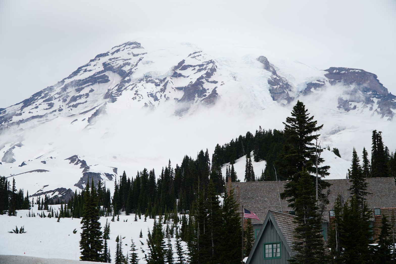
Mount Rainier National Park is an ideal day trip from Seattle. Located Southeast of Seattle, this drive takes approximately 2.5 hours to reach the Southwest entrance of the majestic Mount Rainier. Mount Rainier is known for its beautiful rivers, glaciers, waterfalls, mountain vistas, and diverse wildlife. While we only spent a day in this National Park, some can get lost in discovering the trails and spend 1-2 weeks backpacking.
Mount Rainier National Park has been on my radar for hiking for quite some time. I was grateful for the opportunity to venture out for the day, take our journey to new heights, and step back into a winter wonderland. Our trip was in the Springtime around mid-May. Knowing this information, one would think that flowers are in full bloom, and rivers are racing from the mountain melt-offs. While most of the time that could ring true, Mount Rainier is in a whole other ballpark. Mount Rainier stands at an elevation of 14,411′ ft, and Paradise Inn, where you would park and begin your hiking; starts at 5,400′ ft. In layman terms, this means that the weather can be cold and snowy.
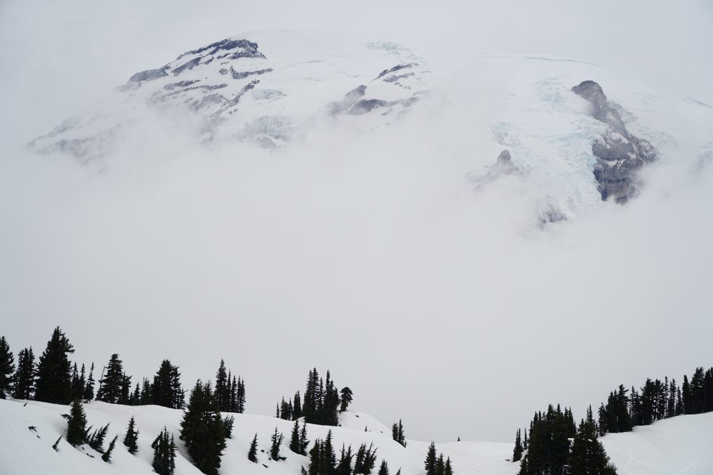
As we made our way up to Paradise Inn, the higher we got, the more snow increased on the side of the road. By the time we reached the parking lot, the temperature had dropped from 70 °F to 30 °F. The surrounding area was foggy, so much so that we had the view of Mount Rainier directly in front of us, without even knowing. Dressing in layers and putting on our microspikes, we ventured to the start of our trailhead to Panorama Point.
At the beginning of our hike, it got a bit confusing on the direction we were supposed to be heading. The trail signs were deep down in the snow somewhere, so we had to follow others’ footprints. It became difficult to follow others’ footings due to so many in different directions. Luckily a group of snowshoers had begun their journey up so, and we tagged behind them.
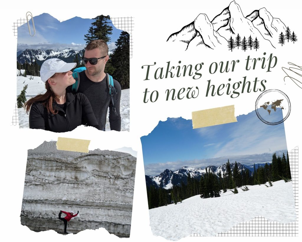
About half a mile up, we looked out and were mesmerized by the mountain vista. As we continued our journey up to the top of the mountain, hiking became steeper. Due to the snow covering all the trails, switchbacks were non-existent, which meant going straight up and over the hill. I was caught between shedding layers due to the exertion of the uphill climb and getting cold due to the wind gusting at a constant 30 mph. By the time we reached Panorama Point, we were in Mount Rainier’s fog line. However, the views looking Eastward were stunning. I was proud that we accomplished reaching the top regardless of the terrain and weather.
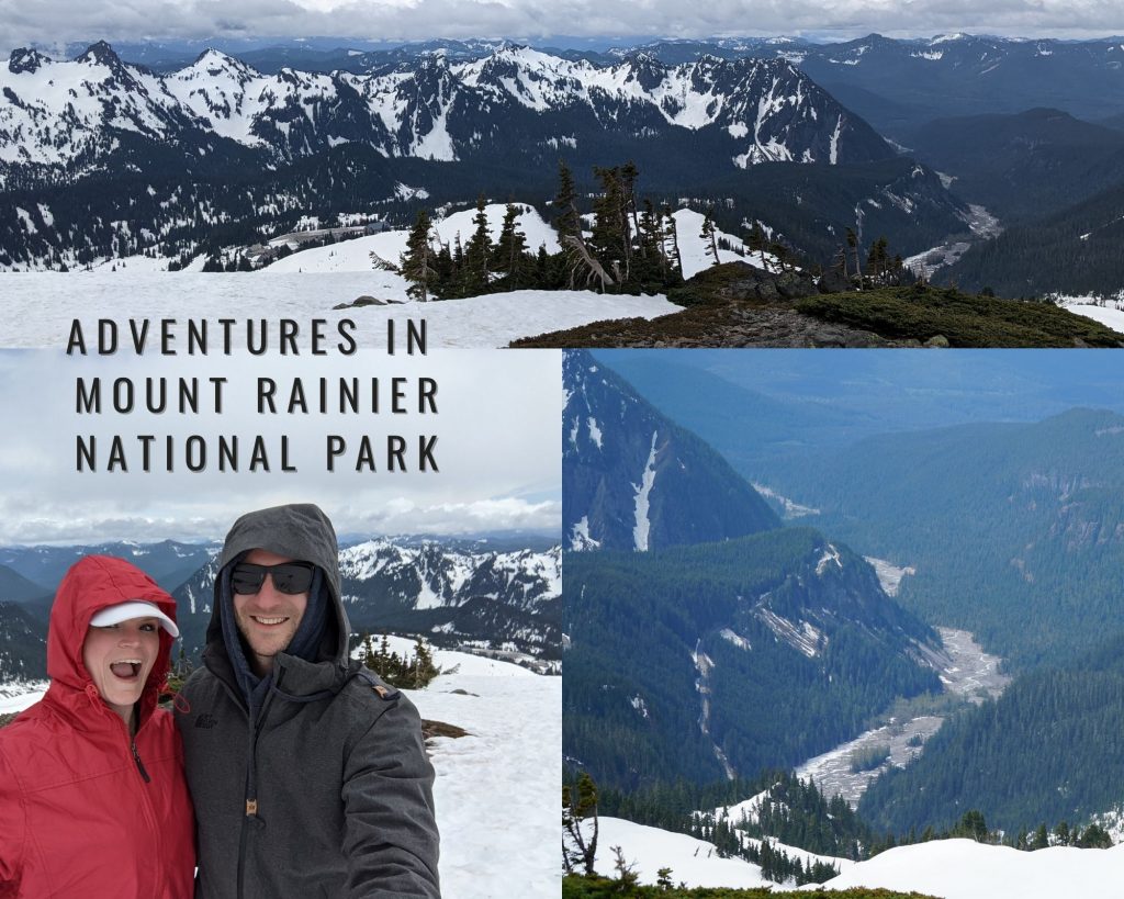
As we made our descent down from Panorama Point, the sun started appearing. Another piece of advice is to bring sunscreen with you, especially if you head to any National Parks. The UV is pretty high out there, primarily when it’s reflecting off any lingering snow in the winter and spring months.
Before heading back to the parking lot, we made our way to Myrtle Falls, or at least what we could see of it due to the massive snowbanks. We did manage to get a great photo opportunity of the upper section of Myrtle Falls with Mount Rainier in the background.
Mount Rainier that day was encapsulated by the morning fog like wrapping paper to a package.
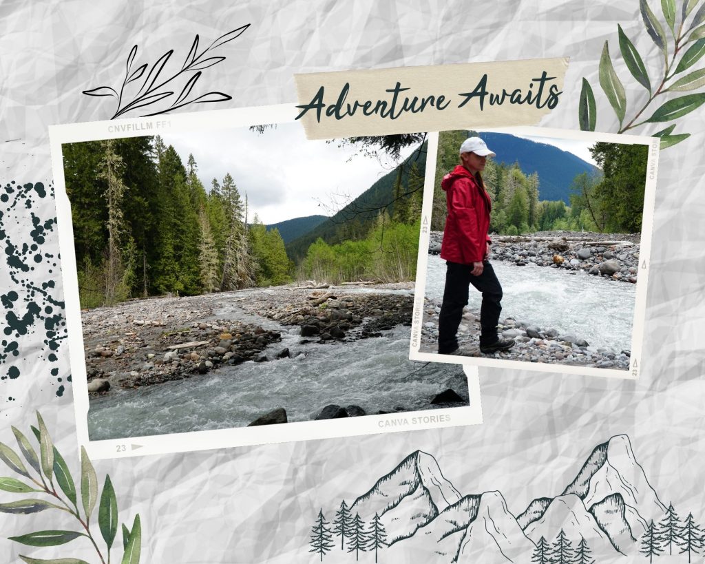
After lunch, we saw that Stevens Canyon Road was open for about a mile. As we ventured back, we stopped for a quick look at one of the turnouts and took in the beautiful views of the National Park surrounding us. Making our way back to Seattle, we pulled off in a few areas to walk along the riverbeds and take some picturesque photos.
If you’re looking for hiking and vista views at the base of a stunning Stratovolcano, look no further and head to Mount Rainier National Park. Driving only two hours, you get to experience different terrain and climate, but that’s what makes Washington unique.
Will you take your trip to new heights?
